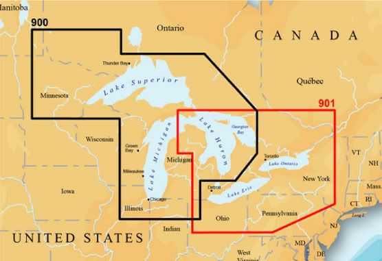
09 Navionics Platinum Marine Charts for Western Great Lakes 900P- "MICHIGAN, SUPERIOR, HHURON. Including Lake of the Woods, Rainy Lake, North Channel, Georgian Bay, Green Bay and Lake Winnebago" (From Navionics' site.)
This is the two-chip set from 09. These differ from '10 and '11 chips in that now the chips go by individual lakes, and this set covers the entire region. Likewise, the current Superior chip doesn't have LOTW. Understand, these are the "marine" charts and do not cover inland lakes.
$100
09 Navionics Platinum Marine Charts for Eastern Great Lakes 901P- "ONTARIO, ERIE and ST CLAIR, HURON, OTTAWA RIVER Including North Channel, Georgian Bay, Trent Severn Waterway, Rideau Waterway, The Finger Lakes and Lake Champlain." (From Navionics' site.)
Same as above, this is the two-chip set from 09 and covers the entire region, instead of individual lakes.
$100
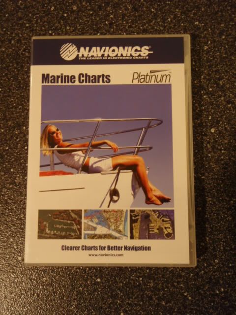
These are Platinum, so they contain the photo overlay, points of interest, panoramic views, etc.
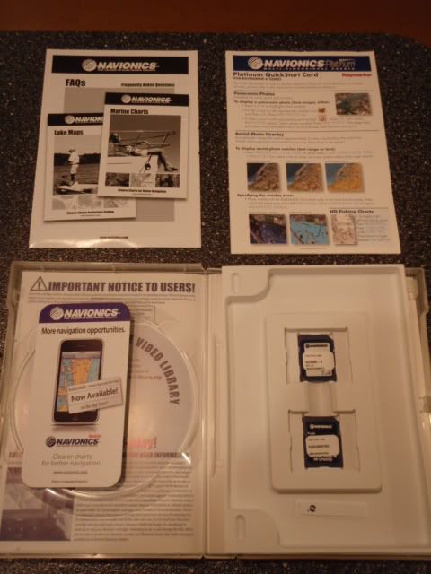
The first pic shows their respective ranges and overlay. Each set comes complete with original box and paperwork.
If anyone would like a specific screen shot, let me know and I'll post it.
PayPal as a gift or money order.